Punta de s’Arenella
It is the northernmost lighthouse on the Catalan coast. It is located on the northern slope of the Cabo Creus peninsula, one mile north-west of the refuge port of Port de la Selva , on a small esplanade at the end of Punta de s’Arenella. It is situated 22 metres above sea level.
Zone of strong winds
This maritime signal was inaugurated on the night of 16 November 1913. It had been built at the initiative of the Girona Shipwrecked Rescue Society, proposed in 1891.
This wide coastal area behaves like a retaining wall from the sea and the wind, since it is located to the windward of the north-easterly and north-westerly winds, the two dominant in this area, together with the easterly wind, especially dangerous on this coast. When these winds are strong, they complicate navigation in the area, especially coming from the north and if there is no optical and light reference to avoid the cliffs.
Model architecture
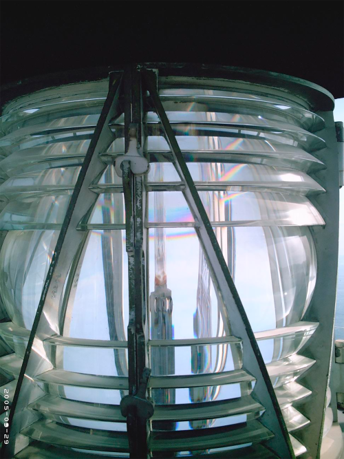
The architectural structure of the lighthouse is made up of a house and a square tower with a dome and served as a model for the construction of other lighthouses in the mid-20th century, in a second programme to improve the lighthouse system of the Spanish coast. The original building inspired the construction of the Tossa lighthouse, which took place two years later.
The Punta de s’Arenella lighthouse

The video is a poetic audiovisual documentary showcasing the architecture, coastal location, and technical specifications of the Punta s'Arenella Lighthouse, located in the municipality of El Port de la Selva. It opens with an introductory screen featuring the Port de Barcelona logo and a stylized illustration of the lighthouse lantern displaying the title "Far de Punta s'Arnella". Throughout the clip, footage presents aerial and panoramic views at twilight and dawn of the rugged Cap de Creus coastline, waves crashing against rocks, the illuminated town of El Port de la Selva reflecting on the water, the Sant Pere de Rodes monastery on the mountain, and the square-based building topped with its lit lantern. Technical parameters appear superimposed on screen:
- Geographical position coordinates: 42° 21.085' N / 03° 11.222' E.
- Lighthouse nominal range: 13 nautical miles.
- Light characteristic: White flash every 5 seconds [DB 5s].
- Year of construction: 1913.
- Height above sea level: 22 meters.
- Maritime signal identification number: 31780. *The video ends with a backlit view of the lighthouse against the sea at dawn, production credits for Lîla Works, institutional acknowledgments, and the official Port de Barcelona logo screen with its website address.